
With many schools breaking up for the Easter holidays on Friday the planning of how to occupy the kids has begun in earnest.
After endless sunny days of late, including the sunniest March on record for England, you'd normally expect the rain clouds to gather within hours of the final bell of the school term, but that has not been the case.
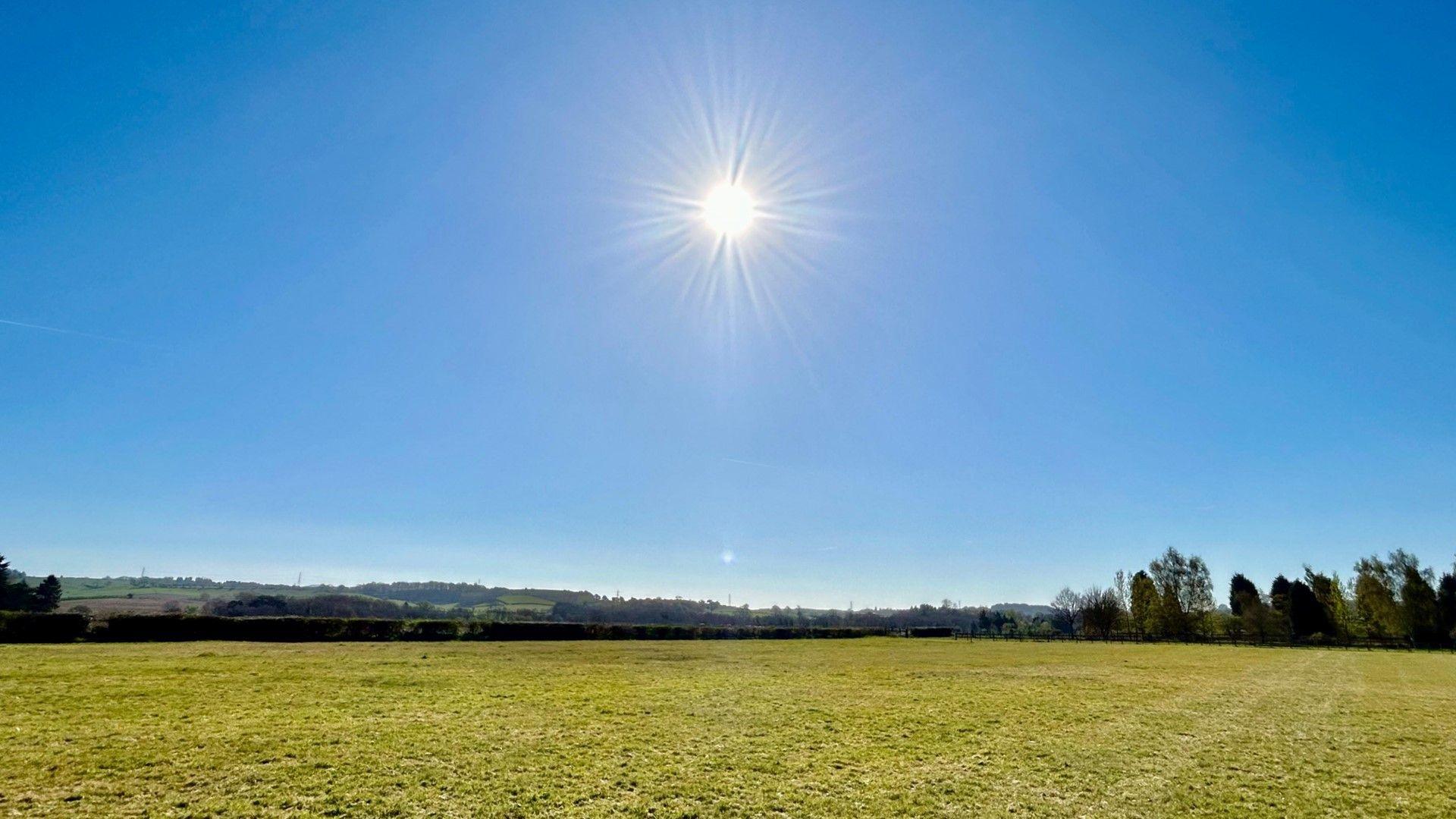
Following the sunshine this weekend, sunny skies are set hang around for much of this coming week, meaning outdoor fun comes without the need of a rain jacket.
You will have noticed this weekend that out of the sunshine there has been a distinct chill in the air.
The large area of high pressure that has dominated our weather may have brought us clear and sunny skies, but its position to the north of the UK has fed in chillier air from Scandinavia.
The strength of the breeze has added to the colder feel, especially along eastern-facing coasts where the wind has been blowing in off seas that are just 7 or 8 degrees right now.

A shift in the centre of the high pressure southwards this week will mean lighter winds, and with long sunny days expected too the air will gradually warm up again.
By Tuesday, parts of north and west Scotland and west Northern Ireland could see temperatures creep above 20 Celsius (68F) once more.
Later in the week parts of England and Wales could see highs of 20-22C (68-72F) too, and with less of an easterly breeze for a while it won't be as cold as it has been on North Sea coasts.
A cautionary note for gardeners and growers though, while daytime temperatures climb well above the early April average of 10-13C (50-55F), the nights will still be chilly. Many areas outside of town and city centres could be susceptible to a light frost early in the week.

Sunny skies have of course meant very little rain has fallen recently across large swathes of the UK. Only 3-5mm (0.1-0.2in) of rain has fallen since the start of March at a number of locations across central and southern England, with some sites experiencing their driest March since at least 1961.
The lack of rainfall has resulted in an increased fire risk in each of the four nations. Wildfires have been tackled by firefighters on a daily basis, and this weekend a major incident was declared in Northern Ireland as a huge wildfire took hold on the Mourne Mountains. People and properties were evacuated in south-west Scotland as a wildfire spread over a large area of forest in Galloway.
The National Fire Chiefs Council (NFCC) advises against using disposable barbecues in the countryside and parks, and discarding things like cigarettes and glass bottles that can cause a fire to start.

Rain may be on the way though. There are increasing signs in the computer models that weather patterns could start to shift later this coming weekend to bring us more changeable conditions into the following week.
As high pressure gradually shifts a little more into Europe, an area of low pressure in the North Atlantic will start to edge closer. A quick scroll through your BBC Weather app highlights the likely change as a parade of sunshine symbols is replaced by occasional rainy ones.
However, the exact timing of rain and how much rain will fall is still a big question mark and it still looks at the moment like the second week of the Easter holidays will still be blessed with some sunnier spells.

As any UK meteorologist will tell you, snow is more likely to fall at Easter than it is at Christmas, although this is more accurate when Easter falls earlier on in the calendar.
Thankfully, snow looks unlikely this year, but in weather terms Easter is still too far away to pinpoint the exact details.
Some computer models continue with the changeable weather patterns that bring some sunny days interspersed with showery ones. However, some show the potential for another area of high pressure to build in from the north, bringing largely dry conditions again.
Don't forget to keep ahead of any Easter surprises with our Monthly Outlook.