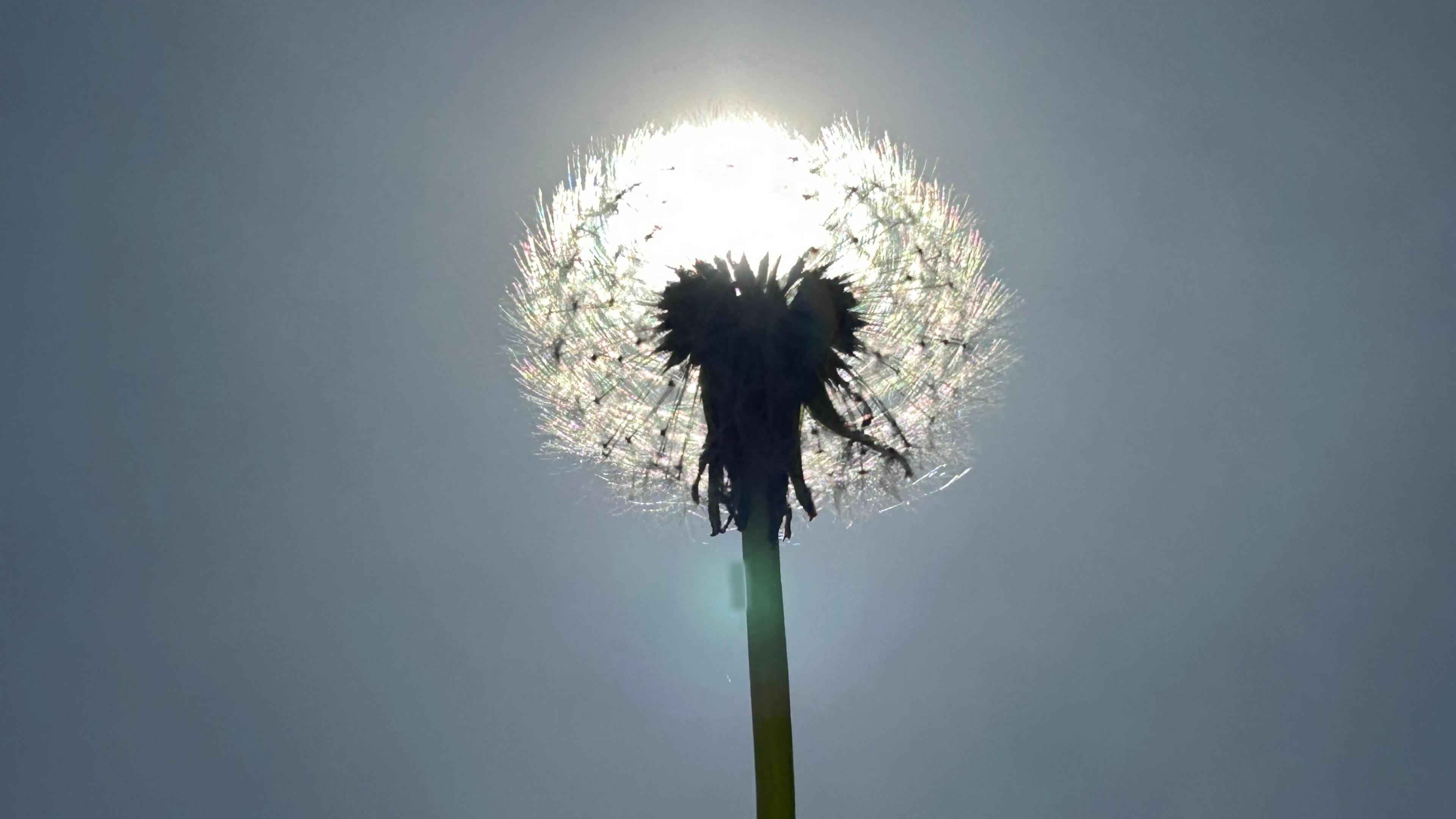
This week will bring the UK its warmest weather of the year.
Temperatures are currently expected to peak at 27 or 28C (81-82F) on Thursday - 1 May - but there is a small chance that 27C could be reached by Wednesday.
That would mark the hottest April weather for seven years.
The warmth will be accompanied by dry conditions and sunshine bringing high UV and pollen levels.
Temperatures are climbing because of a blocked weather pattern.
High pressure has become established close to the UK blocking the progress of rain-bearing weather systems, with the jet stream diverted away from our shores.
As that area of high pressure drifts slowly eastwards it is opening the door to a feed of south or south-easterly winds, bringing warm air from continental Europe.

Almost all areas, away from the far north of Scotland, will get into the twenties Celsius on Tuesday and Wednesday.
Current forecasts suggest that parts of south-east England will reach 26C - a temperature last recorded in April during the memorable lockdown spring of 2020.

However, it is possible that the mercury may creep a little higher.
If this happens and 27C is recorded on Wednesday it will mark the warmest April day since 2018.
Thursday - which is the first day of May - is likely to be the peak of this warm spell.
In south-east England 27-28C (81-82F) is likely although many areas further north will have started to turn cooler by this stage.
Technically, this is unlikely to meet the Met Office's criteria for a heatwave.
That requires temperatures to exceed a threshold - which varies from 25 to 28C across the UK - for at least three consecutive days.
This week's weather will probably fall short of that.
However, it will still be a notable warm spell with daytime temperatures widely 8-10°C above the seasonal norm.
Occasional bursts of very warm weather are not unusual in spring but scientists expect that spring heat will become more common in future.
A recent report found that it is the UK's fastest-warming season overall.
Pollen levels are expected to be high or very high over the next few days which means more bad news for hay fever sufferers after a severe start to the pollen season.
High UV levels are also predicted.

The ongoing dry weather may also cause problems.
Parts of southern England have had just a fifth of the rainfall they would normally expect since early March.
Fire services will be on alert for more wildfires after analysis showed the area burned in the UK in 2025 is already higher than for any year in more than a decade.
Some changes will start to take place by the end of this week as cooler air begins to move down from the north.
A few showers are expected, perhaps even with isolated thundery downpours in southern areas, as the warm weather breaks down.
However, high pressure should still be fairly close by for the bank holiday weekend meaning plenty of dry weather, albeit with a few showers.
You can keep up to date with the prospects for your area by checking BBC Weather online and on the app.