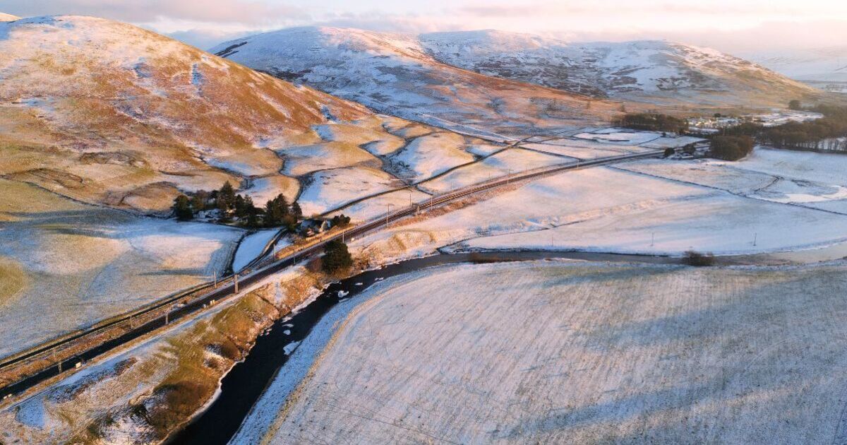
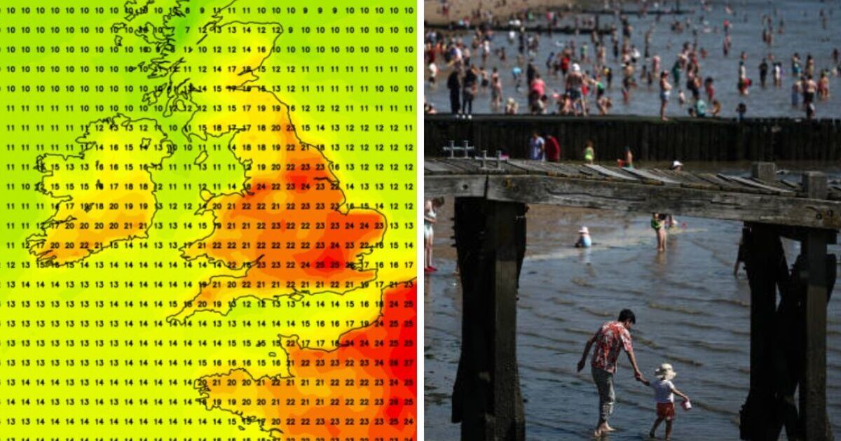
An icy front will sweep across England, Scotland and Wales to end Spring's mini-heatwave, forecasts have predicted. Weather maps from WXCharts reveal temperatures will drop to between -2C and -1C across the UK on Bank Holiday Monday as we enter a cooler period.
On May 5, the east of the UK will experience the lowest temperatures, with a minimum of -2C in parts of Scotland and England and -1C in Wales at 6 a.m. Scotland’s Highlands north of Glasgow will also experience sub-zero temperatures ranging from freezing to -2C. Central parts of Wales will feel the iciest blasts, while the coastal areas in the southwest and northwest will remain above freezing.
In England, the Lake District and Yorkshire are forecast to drop below freezing, with surrounding areas also set to sit around 1C or zero.
In contrast, the west coast could reach up to 7C near Middlebrough, and down the coast towards Hull it could stay above 5C.
The Met Office bank holiday forecast said: "After provisionally the warmest May Day on record in the UK, higher than average temperatures will subside over the weekend, with cooler weather and isolated showers on the way for some.
"The cloudiest conditions are expected in the south and east, with further scattered showers possible at times. Temperatures on Monday may be a touch higher than Sunday, but still below average and feeling chilly, especially along the east coast."
The Met Office Deputy Chief Meteorologist Tony Wisson predicted warmer conditions could return after the bank holiday, but not at the same level the UK has been enjoying.
He said: "We reach our coldest temperatures on Sunday and Monday. Then from Tuesday onwards we’re likely to see a very gradual increase in temperatures day on day, though not to the levels of warmth we've seen recently.
"High pressure will continue to dominate the UK weather next week, bringing largely dry weather and variable cloud amounts.”