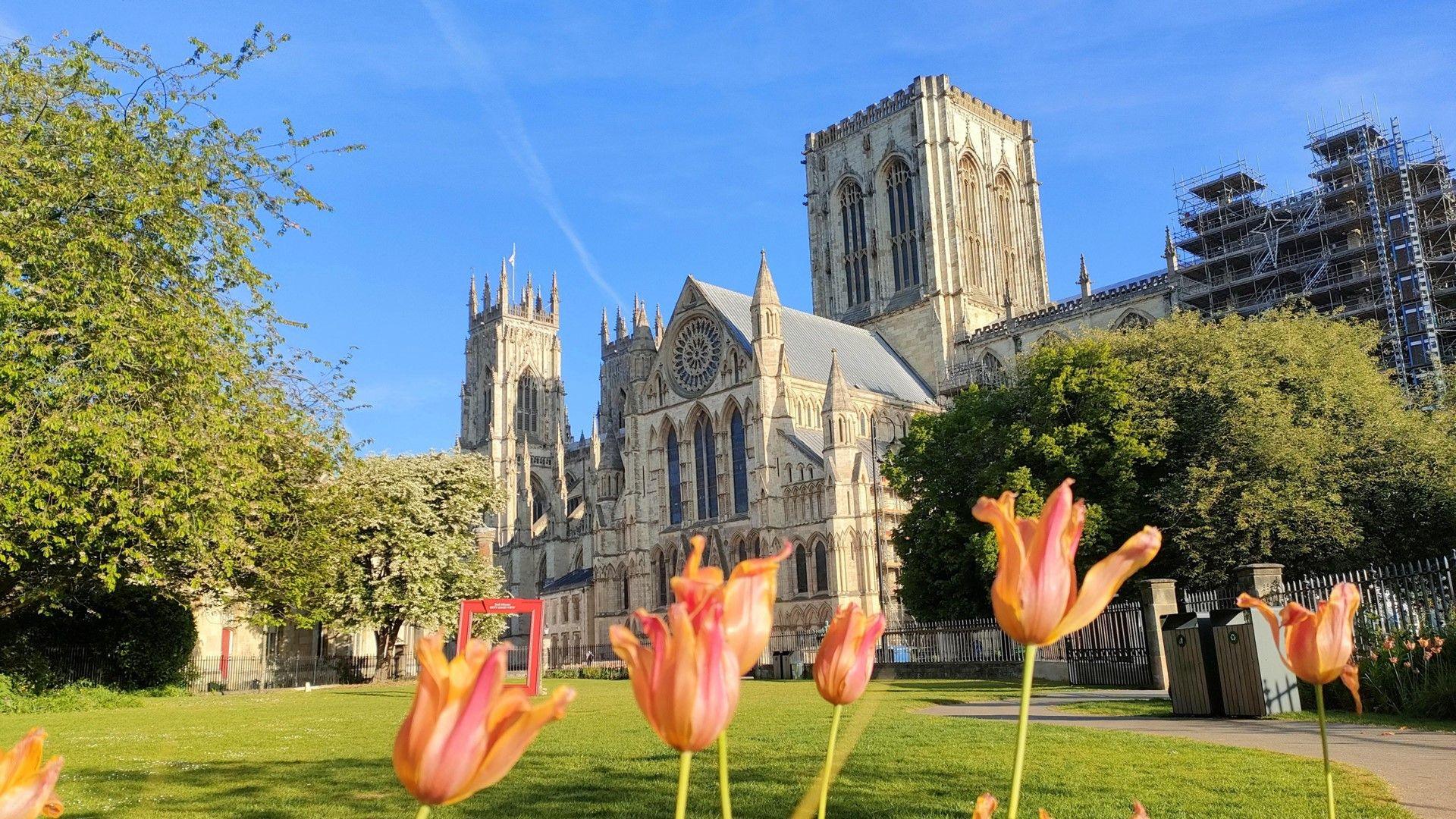

With more sunshine around, temperatures are rising again over the weekend.
It will not be as hot as the start of this month when we saw the warmest start to May on record but temperatures will get up to between 19-24C for most.
From Sunday onwards some parts may get much needed rain which is likely to be heavy with thunderstorms.
But it is unlikely to amount to the sustained rainfall needed to head off the risk of drought this summer.

According to the Environment Agency it has been the driest start to spring in 69 years across England.
Some areas of the country have had no measurable rain for about three weeks. Leuchars, Morecambe and Bradford are a good example of how dry it has been. Each location has only had about 20% of the expected spring rainfall.
Reservoirs are currently 84% full and there is now a medium risk of summer drought if there is no significant rainfall in the weeks ahead.
No area is in drought yet and there are currently no plans for hosepipe bans.

Data from the Met Office shows that not only has it been dry but it has also been very sunny.
There has been more sunshine this spring already than we had during the whole of March, April and May last year.
And if this continues it could be the sunniest spring on record - beating 2020 when there was 626 hours of sunshine. That was more sunshine than you would have most summers!
This weekend looks like being very warm for most of us. Highest temperatures of 23 or 24C are likely to be in the Midlands, East Anglia and south-east England later this weekend.
The sunny weather will continue on Saturday but on Saturday night the weather will start to change.
There is an increasing chance of rain and thunderstorms moving across south-western parts of the UK. These will continue on Sunday and could spread to Northern Ireland.
Heavy downpours and storms could continue across southern and western parts of the UK into Monday.
There is still considerable uncertainty regarding the extent of rain and forecasting where thunderstorms will occur. Keep up to date on the BBC Weather app.
And there will be many parts of England and Scotland that will miss the rain completely.

Strong sunshine will lead to high UV levels for much of the country on Saturday. Levels will remain high in eastern Scotland, northern and eastern England and the Midlands on Sunday but will be lower elsewhere as the weather starts to change.
You might be surprised to learn that the sun is as strong at this time of year as it is in August.
The dry and sunny weather during spring has been due to the presence of areas of high pressure close to the UK. We have often had a blocked weather pattern, something which may become more frequent due to climate change.
Rain and thunderstorms on Monday will then die out and next week another area of high pressure is expected to build across the UK from the north. It looks like it will be a "dry high" with little cloud and no rain.
With more blue skies it will continue to be warmer than normal for late spring. However, the last week in May could be very different. Most computer models show the high pressure moving away and areas of low pressure and weather fronts arriving in from the Atlantic.
This change of weather type would mean lower temperatures, stronger winds at times and rain in all areas.

23 PerFlyer